Mekelle City is one of the fast growing City in Ethiopia. With more than 400K inhabitants, it is recognized as one of the Secondary Cities under the Office of the Geographers, USA (https://secondarycities.state.gov/). One of the challenge of the city is Water Supply. Imbalance between Supply and Demand, and Water quality in water supply major changes in Mekelle City, which is further complicated with insufficient base data on Water Supply Infrastructure system in the city. To this end, updating field data collection technique, conducting appropriate geospatial data analysis technique and water quality assessment is very crucial.
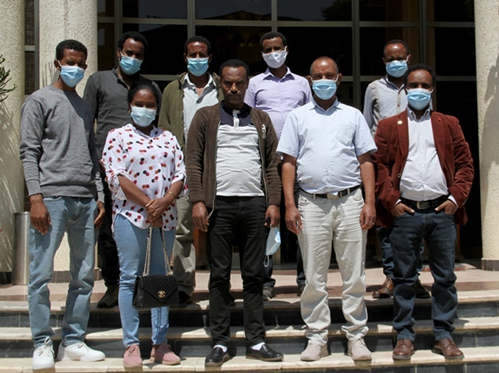
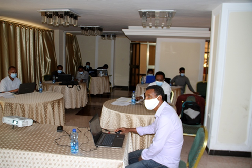
In order to support this challenge, a training was provided to seven staff members from Tigray Bureau of Water Resources and Tigray Bureau of Health on Geospatial Analysis, Development of Smart Form using ArcGIS’s Survey123, GNSS, and Basics of Water Quality Assessment. The training was conducted in Mekelle from 19-24 Oct. 2020 following CoVID-19 precautions. The aim of the training was to equip the practitioners on the use of selected ArcGIS products for geospatial analysis for water supply application, and development and collection of field data using Survey123, Utilize Satellite-based Navigation application like MapsMe, understand the basic water supply quality parameters and their assessment. At the end of the training the experts are expected to make field inventories for more than 500 properly undocumented private wells for water supply located in Mekelle City. During the training EENSAT PhD students shared their knowledge and experiences gained at ITC and developed training manuals.


